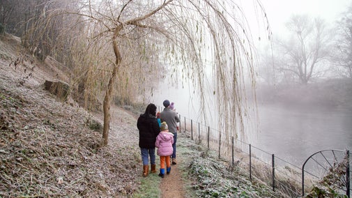
Coombe Hill Woodland Walk
Oxfordshire, Buckinghamshire & Berkshire
This gentle circular walk passes mostly through sheltered woodland, from the mysterious coppiced beech of Low Scrubs to the towering beech standards of Linton’s Wood. The final section of the walk takes you up Coombe Hill, with far-reaching views over the Chilterns from its summit.
Near to
Chilterns CountrysideStart point
Entrance to Coombe Hill car park, grid ref: SP851062Trail information
More near here
Coombe Hill and Chequers trail
Enjoy a moderately energetic circular walk from Coombe Hill, taking in views across the Aylesbury Vale. You'll wander through woodlands, past rare chalk grassland and the pretty village of Ellesborough.

Hambleden Mill to Henley-on-Thames circular river walk
This circular Thames walk takes in a historic watermill, the Henley Regatta course, views across the Thames Valley and quiet stretches of river with the chance to spot wildlife.

The best of Coombe Hill walk
Take a gentle circular stroll to see Coombe Hill highlights on rare chalk grassland, with panoramic views across Aylesbury Vale and Chequers, the prime minister’s retreat.

Chiltern Hills three-in-one walk
Discover a challenging 8½-mile scenic walk linking three National Trust places in the Chiltern Hills: West Wycombe, Bradenham and Hughenden. Longer and shorter routes can be completed depending on your choice.

Get in touch
Chilterns Countryside, c/o Hughenden estate, High Wycombe, Buckinghamshire, HP14 4LA
Our partners

We’ve partnered with Cotswold Outdoor to help everyone make the most of their time outdoors in the places we care for.
You might also be interested in
Walking
Explore some of the finest landscapes in our care on coastal paths, accessible trails, woodland walks and everything in between. Find the best places to walk near you.

Visiting Coombe Hill in the Chilterns Countryside
Explore the walking trails, play area and wildlife of Coombe Hill, the highest point in the Chiltern Hills.

Staying safe at National Trust places
The special places in National Trust care sometimes come with a few risks for visitors, be it coastline or countryside. Find out how to keep safe throughout your visits.

Follow the Countryside Code
Help to look after National Trust places by observing a few simple guidelines during your visit and following the Countryside Code.

Cotswold Outdoor: our exclusive walking partner
Learn about the National Trust’s ongoing partnership with Cotswold Outdoor. Find out how they help us care for precious places and the exclusive discount available for National Trust supporters.

Walking in Oxfordshire, Buckinghamshire and Berkshire
From gentle strolls for little legs to longer hikes through the rolling Chiltern hills, these are some of the best walks in Oxfordshire, Buckinghamshire and Berkshire.


