Yewdale Valley walk
Lake District
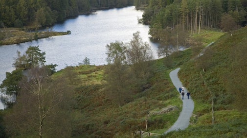
Enjoy picturesque views of the Yewdale Valley on this pleasant medium-length walk from Coniston village which offers enough height to provide good views of the landscape but low enough to be not too demanding.
Near to
Tarn Hows and ConistonStart point
Coniston Primary School, grid ref: SD305978Trail information
More near here
Tarn Hows circular walk
Take in stunning views of the Lake District fells as you follow this easy, accessible route around a tree-lined tarn, with a Tramper mobility scooter available to borrow.

Monk Coniston and Tarn Hows walk
Walk from the head of Coniston Water to Tarn Hows via this picturesque route passing through woodland, farmland and the Walled Garden at Monk Coniston Hall. Look out for wildlife along the way including red squirrels, otters and hares.

Tom Gill to Tarn Hows walk
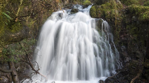
An exhilarating way to arrive at Tarn Hows, via a challenging but beautiful woodland climb alongside Tom Gill and its surging waterfalls.

Get in touch
Our partners

We’ve partnered with Cotswold Outdoor to help everyone make the most of their time outdoors in the places we care for.
You might also be interested in
Walking
Explore some of the finest landscapes in our care on coastal paths, accessible trails, woodland walks and everything in between. Find the best places to walk near you.

Cotswold Outdoor: our exclusive walking partner
Learn about the National Trust’s ongoing partnership with Cotswold Outdoor. Find out how they help us care for precious places and the exclusive discount available for National Trust supporters.

Follow the Countryside Code
Help to look after National Trust places by observing a few simple guidelines during your visit and following the Countryside Code.

Staying safe at National Trust places
The special places in National Trust care sometimes come with a few risks for visitors, be it coastline or countryside. Find out how to keep safe throughout your visits.

