25 April 2024
2024 UK River Prize winners!
The Ullswater Catchment Management Partnership, which is spearheaded by the National Trust and Ullswater Catchment Management Community Interest Company (UCMCIC) and works to restore and improve rivers in the Ullswater catchment in the Lake District, has won the prestigious 2024 UK River Prize’s Catchment Award.
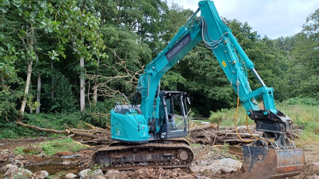
Together the partners have delivered over 280 restoration initiatives across the catchment since its inception in 2015, including the Riverland team’s ‘re-wiggling’ of Goldrill Beck and restoration of Kirkstone Beck.
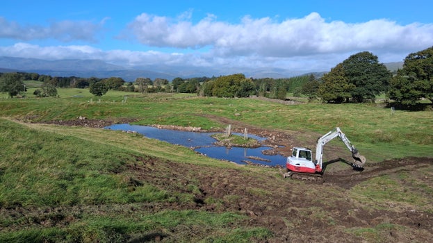
In total, 843 hectares of key habitats have been restored, the equivalent of roughly 1,180 football pitches. This includes over 13km of river restoration, 46 hectares of pond creation, 16km of hedgerow creation, as well as significant restorations of wood pasture, peat, and wetlands.
The project is supported by the Cumbria River Restoration Strategy, which is led by the Environment Agency and Natural England.
Danny Teasdale, founder of the UCMCIC said: "We are absolutely delighted to have won the UK river prize. This win really shows what is possible with genuine partnership working, especially with and for our local farming communities."
Rebecca Powell, Project Manager for the National Trust’s Cumbria Riverlands Project added: “The projects were only possible due to strong collaboration and the collective effort of many partners, the local community and farmers.
“We’re thrilled that everyone’s hard work is delivering real improvements in the health and resilience of our rivers, streams and wider habitats in the Ullswater catchment and is receiving the national recognition it deserves.”


