Greendale and Middle Fell walk
Lake District
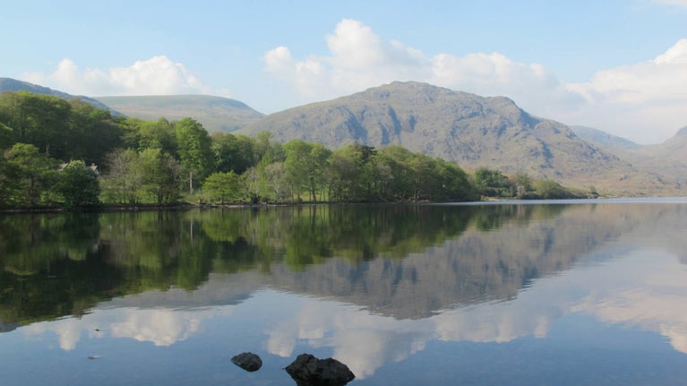
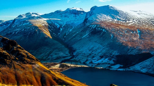
Not far from the busy slopes of Scafell Pike, discover the quieter side of the Western Fells on this circular walk above Wastwater. There's a hidden mountain tarn, superb views over the Wasdale Screes and, if visibility is good, you may see the Isle of Man rising up like Avalon out of the Irish Sea.
Near to
WasdaleStart point
Greendale, grid ref: NY144056Trail information
Fell walking
Conditions can change quickly in the mountains. Please wear suitable footwear for the conditions, pack waterproofs and warm layers, and carry a map and compass.
More near here
Pillar trail from Wasdale Head
Few places in the Lake District have views to compete with those from the Pillar summit, but this route there involves a ascent of over 800m so a high level of fitness required.

Get in touch
Our partners

We’ve partnered with Cotswold Outdoor to help everyone make the most of their time outdoors in the places we care for.
You might also be interested in
Walking
Explore some of the finest landscapes in our care on coastal paths, accessible trails, woodland walks and everything in between. Find the best places to walk near you.

Walking in the Lake District
From gentle ambles to more challenging hikes, these are some of the best walks to explore the heart of the Lake District.

Cotswold Outdoor: our exclusive walking partner
Learn about the National Trust’s ongoing partnership with Cotswold Outdoor. Find out how they help us care for precious places and the exclusive discount available for National Trust supporters.

Staying safe at National Trust places
The special places in National Trust care sometimes come with a few risks for visitors, be it coastline or countryside. Find out how to keep safe throughout your visits.

Follow the Countryside Code
Help to look after National Trust places by observing a few simple guidelines during your visit and following the Countryside Code.

Things to see and do in Wasdale
Explore Wasdale to discover England’s highest mountain peak and its deepest lake, and everything else that this area of the Lake District has to offer.

Climbing Scafell Pike
Find out more about how to prepare for climbing Scafell Pike, England’s highest mountain peak, and follow safety procedures.

Top tips for hill and mountain walking
Learn about the essential clothing and equipment to take with you, keeping your energy levels up, staying safe and leaving the environment as you found it.

