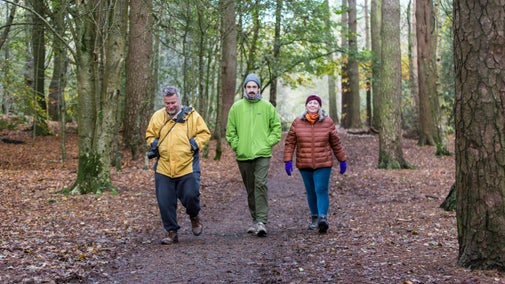
Woodland valley walk at Alderley Edge
Cheshire & Greater Manchester
Wander through this peaceful area of Alderley Edge filled with history and wildlife, where past generations have mined and farmed the landscape.
Start point
Picnic area near the Alderley Edge car park, grid ref: SJ859773Trail information
More near here
The Wizard's Wander at Alderley Edge
Enjoy an easy-access circular walk in the heart of the Cheshire countryside exploring mining remains and the popular legend of Alderley Edge.

Get in touch
Macclesfield Road, Nether Alderley, Macclesfield, Cheshire, SK10 4UB
Our partners

We’ve partnered with Cotswold Outdoor to help everyone make the most of their time outdoors in the places we care for.
You might also be interested in
Walking in Cheshire and Manchester
Explore the woods, hills, rivers, deer parks and moors in Cheshire and Manchester. Our step-by-step walking trails will get you close to nature, transport you to another age, and may even awaken a legendary wizard.

Walking
Explore some of the finest landscapes in our care on coastal paths, accessible trails, woodland walks and everything in between. Find the best places to walk near you.

Things to do at Alderley Edge
Discover what makes Alderley Edge so special, from its wildlife and fun activities such as orienteering, to its areas of historical significance.

Visiting Alderley Edge with your dog
Alderley Edge is a one pawprint rated place. Dogs are welcome at all Cheshire and Wirral countryside sites. Find out how to keep your dog and local wildlife safe and more.

Follow the Countryside Code
Help to look after National Trust places by observing a few simple guidelines during your visit and following the Countryside Code.

Staying safe at National Trust places
The special places in National Trust care sometimes come with a few risks for visitors, be it coastline or countryside. Find out how to keep safe throughout your visits.

Cotswold Outdoor: our exclusive walking partner
Learn about the National Trust’s ongoing partnership with Cotswold Outdoor. Find out how they help us care for precious places and the exclusive discount available for National Trust supporters.

