Alcock Tarn walk
Lake District
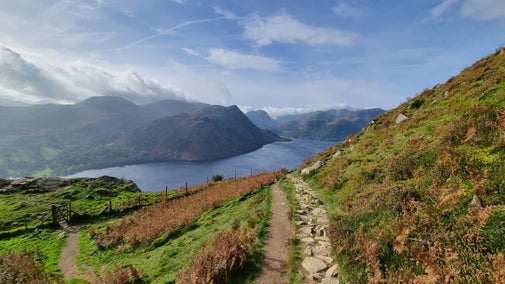
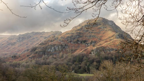
Starting in the heart of the lakeside village of Grasmere, this circular walk climbs to a small tarn, a beautiful place to have lunch. Winding through trees and out to views of the valley, lakes and surrounding fells, you'll take in history from miners and coffin-bearers to Wordsworth along the way.
Near to
Allan Bank and GrasmereStart point
St Oswald's Church, Church Stile, Grasmere, grid ref: NY337074Trail information
Boggy underfoot
In wet weather, especially in autumn and winter, the top of the walk around the tarn can be boggy. Please take care and wear appropriate footwear for the conditions.
More near here
Ambleside Champion Tree Trail
Wander among some of England's tallest trees on this easy waymarked trail through Skelghyll Woods. With benches along the way, it's the perfect route for a picnic.

Stickle Tarn trail
Take on a challenging and rewarding walk up Stickle Ghyll to the tarn above, surrounded by high fells, waterfalls and rockpools.

Aira Force and Gowbarrow Park trail
Explore Aira Force and Gowbarrow Park on a circular walk passing through woodland and open glades all accompanied with the roaring sounds from the waterfall in the gorge. Enjoy expansive views over Ullswater from the summit of Gowbarrow.

Octavia Hill walk at Brandelhow Park, Derwent Water
Enjoy a relaxing amble through parkland at Brandelhow and along the quiet side of Derwent Water, following in the footsteps of National Trust co-founder Octavia Hill.

Get in touch
Our partners

We’ve partnered with Cotswold Outdoor to help everyone make the most of their time outdoors in the places we care for.
You might also be interested in
Walking in the Lake District
From gentle ambles to more challenging hikes, these are some of the best walks to explore the heart of the Lake District.

Walking
Explore some of the finest landscapes in our care on coastal paths, accessible trails, woodland walks and everything in between. Find the best places to walk near you.

Cotswold Outdoor: our exclusive walking partner
Learn about the National Trust’s ongoing partnership with Cotswold Outdoor. Find out how they help us care for precious places and the exclusive discount available for National Trust supporters.

Staying safe at National Trust places
The special places in National Trust care sometimes come with a few risks for visitors, be it coastline or countryside. Find out how to keep safe throughout your visits.

Follow the Countryside Code
Help to look after National Trust places by observing a few simple guidelines during your visit and following the Countryside Code.

Walking in Grasmere
From relaxing lakeshore strolls to fell-top expeditions, when it comes to walking you’re spoilt for choice here in Grasmere. Here are some popular walks to get you started.

Things to do at Allan Bank and Grasmere
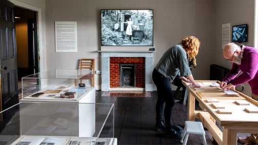
With rugged 19th century woodland grounds, formal lawns, exhibitions and surrounding countryside and lakes to explore, there’s plenty to see and do at Allan Bank and Grasmere. Closed for Winter - reopens March 2026

