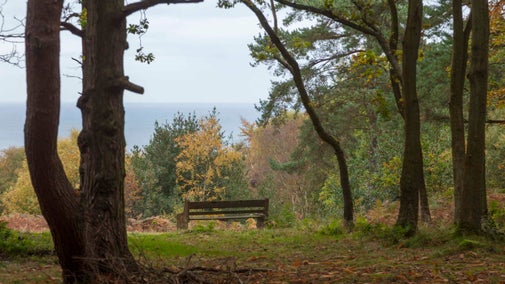
Circular walk from Morston Quay to Cockthorpe
Starting from the National Trust car park at Morston Quay, near Blakeney, this 5.5-mile (8km) walk weaves away from the coast along the Norfolk Coast Path National Trail, through woodland next to a river and on to the village of Cockthorpe.
Total steps: 8
Total steps: 8
Start point
Morston Quay, grid ref: TG006440
Step 1
Starting with your back to the Visitor Centre, head slightly right and follow the path until reaching a dog-bin on the right-hand side. Bearing right at the bin, head for some wooden steps which lead up to the coast path. The path is fairly well defined but with many bends as you go along. Morston Greens salt marshes are on your right. Walk for about three-quarters of a mile where the path has a fairly well-defined turn to the left.
Step 2
Look out for some creeks on the right-hand side, as the path makes a right-hand turn. After approximately quarter of a mile, look out for a lake on the left. Be careful at this point as the lake may be hidden by plants.
Step 3
Shortly after reaching a footpath sign and wooden steps on the left, descend the steps and follow the path, keeping the lake on your left for about a quarter of a mile until you reach a kissing gate. Shortly after the gate you'll come to a bridge and the Morston road. Follow the permissive path behind the hedge for a quarter of a mile until you reach the footpath sign. Turn left onto this path, with a small stream on the right-hand side, which may be rather overgrown in places. Follow it for about half a mile, crossing a wooden footbridge on the way.
Step 4
When you come to a gate and a small footbridge you're at the valley of Cockthorpe Common. Stand and take in the view of the valley for a while – it’s quite impressive. The path runs through the middle, and a mast and some farm buildings can be seen on the hill ahead of you. Don’t head to the mast but bear to the right. The path bears right and climbs fairly steeply until eventually it reaches a steel gate.
Step 5
Go through the gate and continue for a short way until reaching the Cockthorpe road. The walk route turns left at this point but it is worth turning right to look at Cockthorpe village and the church. If you'd rather continue the walk, turn left and move on to point 6.
Step 6
When you have finished in Cockthorpe village, retrace your steps and shortly after going through the Cockthorpe Common exit, look out for a footpath sign 100 yds on the left, leading on to a concrete path heading up to the disused Langham Airfield on the right-hand side. Walk past a small copse on the left and before reaching the buildings (a quarter of a mile or so), branch left, continuing for another quarter of a mile, until you see a ‘private land’ sign and a footpath sign on the right.
Step 7
Turn right onto this path running across a field for about a quarter of a mile, until you come to more concrete and then a bridleway called Love Lane. Continue along Love Lane for about half a mile. (Look out for free-range pigs). After turning sharp left, continue along the grass track for half a mile to the main road, Morston Chase.
Step 8
There is no footpath for most of this road, so turn right and carefully continue along Morston Chase until the second turning on the left, leading back up to Morston Quay car park and the end of your walk.
End point
Morston Quay, grid ref: TG006440
Trail map

More near here

Brancaster Staithe wildlife walk
Wander through Brancaster Staithe and enjoy the sights of the coast and its wildlife. There are views from Barrow Common and the chance to visit the site of Branodunum Roman Fort along the way.

Burnham Overy Staithe walk
Enjoy a circular walk through Burnham Overy Staithe near Brancaster, soaking up the beautiful sights of the North Norfolk coast and its wildlife as well as local history.

Woodland and coastal walk at Sheringham Park
Take the circular woodland and coastal walk for views from the treetop gazebo and absorb the history and rich variety of trees, bird and animal life. With opportunities for refreshment along the route this is a walk with plenty of variety.

West Runton circular walk
Discover great views of the sea and the surrounding countryside on this circular walk around West Runton and Beeston Regis Heath, Norfolk.
Get in touch
Our partners

We’ve partnered with Cotswold Outdoor to help everyone make the most of their time outdoors in the places we care for.
You might also be interested in


Coast and beaches in Norfolk
There are miles of natural coastline and beaches in Norfolk to visit, including nature reserves to explore. Find your perfect spot for a day at the coast with the whole family.

Walking in Norfolk
Discover the best walks around Norfolk, from a stroll around the estate at Blickling to a bracing trek on the Norfolk Coast Path.

Walking
Explore some of the finest landscapes in our care on coastal paths, accessible trails, woodland walks and everything in between. Find the best places to walk near you.

Follow the Countryside Code
Help to look after National Trust places by observing a few simple guidelines during your visit and following the Countryside Code.

Cotswold Outdoor: our exclusive walking partner
Find out more about the National Trust’s ongoing partnership with Cotswold Outdoor as our exclusive walking partner.