Skip to content
Sunset over Morston Quay in Norfolk
Sunset over Morston Quay | © National Trust Images/Justin Minns
Norfolk

Circular walk from Morston Quay to Cockthorpe

Starting from the National Trust car park at Morston Quay, near Blakeney, this 5.5-mile (8km) walk weaves away from the coast along the Norfolk Coast Path National Trail, through woodland next to a river and on to the village of Cockthorpe.

Total steps: 8

Total steps: 8

Start point

Morston Quay, grid ref: TG006440

Step 1

Starting with your back to the Visitor Centre, head slightly right and follow the path until reaching a dog-bin on the right-hand side. Bearing right at the bin, head for some wooden steps which lead up to the coast path. The path is fairly well defined but with many bends as you go along. Morston Greens salt marshes are on your right. Walk for about three-quarters of a mile where the path has a fairly well-defined turn to the left.

Step 2

Look out for some creeks on the right-hand side, as the path makes a right-hand turn. After approximately quarter of a mile, look out for a lake on the left. Be careful at this point as the lake may be hidden by plants.

Step 3

Shortly after reaching a footpath sign and wooden steps on the left, descend the steps and follow the path, keeping the lake on your left for about a quarter of a mile until you reach a kissing gate. Shortly after the gate you'll come to a bridge and the Morston road. Follow the permissive path behind the hedge for a quarter of a mile until you reach the footpath sign. Turn left onto this path, with a small stream on the right-hand side, which may be rather overgrown in places. Follow it for about half a mile, crossing a wooden footbridge on the way.

Step 4

When you come to a gate and a small footbridge you're at the valley of Cockthorpe Common. Stand and take in the view of the valley for a while – it’s quite impressive. The path runs through the middle, and a mast and some farm buildings can be seen on the hill ahead of you. Don’t head to the mast but bear to the right. The path bears right and climbs fairly steeply until eventually it reaches a steel gate.

Step 5

Go through the gate and continue for a short way until reaching the Cockthorpe road. The walk route turns left at this point but it is worth turning right to look at Cockthorpe village and the church. If you'd rather continue the walk, turn left and move on to point 6.

Step 6

When you have finished in Cockthorpe village, retrace your steps and shortly after going through the Cockthorpe Common exit, look out for a footpath sign 100 yds on the left, leading on to a concrete path heading up to the disused Langham Airfield on the right-hand side. Walk past a small copse on the left and before reaching the buildings (a quarter of a mile or so), branch left, continuing for another quarter of a mile, until you see a ‘private land’ sign and a footpath sign on the right.

Step 7

Turn right onto this path running across a field for about a quarter of a mile, until you come to more concrete and then a bridleway called Love Lane. Continue along Love Lane for about half a mile. (Look out for free-range pigs). After turning sharp left, continue along the grass track for half a mile to the main road, Morston Chase.

Step 8

There is no footpath for most of this road, so turn right and carefully continue along Morston Chase until the second turning on the left, leading back up to Morston Quay car park and the end of your walk.

End point

Morston Quay, grid ref: TG006440

Trail map

Cockthorpe circular walk map, Morston Quay, Norfolk
Cockthorpe circular walk map, Morston Quay, Norfolk | © Norfolk Trails

You made it

Share your experience

More near here

Aerial view of Brancaster Staithe Harbour at low tide, Brancaster Estate, Norfolk
Trail
Trail

Brancaster Staithe wildlife walk 

Wander through Brancaster Staithe and enjoy the sights of the coast and its wildlife. There are views from Barrow Common and the chance to visit the site of Branodunum Roman Fort along the way.

Activities
Walking
DistanceMiles: 3.8 (km: 6.08)
Distant view of Burnham Overy Tower Mill near Brancaster, Norfolk
Trail
Trail

Burnham Overy Staithe walk 

Enjoy a circular walk through Burnham Overy Staithe near Brancaster, soaking up the beautiful sights of the North Norfolk coast and its wildlife as well as local history.

Activities
Walking
DistanceMiles: 4 (km: 6.4)
Rust-coloured cliffs reflected in the sea on the beach at Sheringham Park
Trail
Trail

Woodland and coastal walk at Sheringham Park 

Take the circular woodland and coastal walk for views from the treetop gazebo and absorb the history and rich variety of trees, bird and animal life. With opportunities for refreshment along the route this is a walk with plenty of variety.

Activities
Walking
DistanceMiles: 7 (km: 11.2)
Fox in spring woodland at West Runton, Norfolk
Trail
Trail

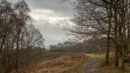
West Runton circular walk 

Discover great views of the sea and the surrounding countryside on this circular walk around West Runton and Beeston Regis Heath, Norfolk.
Activities
Walking
DistanceMiles: 2.5 (km: 4)

Get in touch

Morston Quay, Quay Lane, Morston, Norfolk, NR25 7BH

Our partners

Cotswold Outdoor

We’ve partnered with Cotswold Outdoor to help everyone make the most of their time outdoors in the places we care for.

Visit website 

You might also be interested in

Sunset over Morston Quay in Norfolk
Place
Place

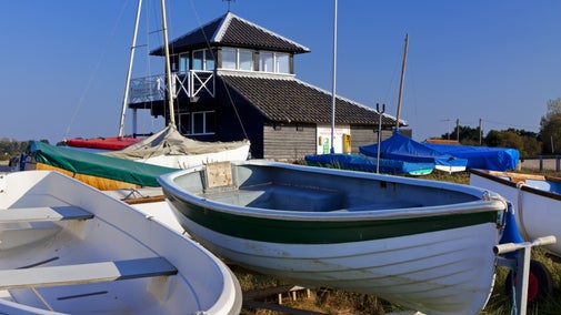
Morston Quay 

Explore the Norfolk Coast from Morston Quay
Morston, Norfolk

Fully open today
The backs of a family walking through Sheringham Park, underneath the boughs of white and pink blooming rhododendrons.
Place
Place

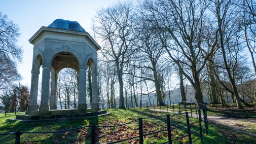
Sheringham Park 

Landscape park and woodland garden with miles of stunning coastal views
Upper Sheringham, Norfolk

Fully open today
View towards Beeston Bump and the sea, Norfolk with gorse in flower nearby
Place
Place

West Runton and Beeston Regis Heath 

Woods, heaths and the best coastal views

West Runton, Norfolk

Fully open today
Seal cow on the beach at Blakeney Point, Blakeney National Nature Reserve, Norfolk

Coast and beaches in Norfolk 

There are miles of natural coastline and beaches in Norfolk to visit, including nature reserves to explore. Find your perfect spot for a day at the coast with the whole family.

Two visitors walking along a pathway with another visitor on a mobility scooter

Walking in Norfolk 

Discover the best walks around Norfolk, from a stroll around the estate at Blickling to a bracing trek on the Norfolk Coast Path.
Walkers climbing rocks against a bright blue sky with the mountains in the distance at Sugarloaf, Monmouthshire

Walking 

Explore some of the finest landscapes in our care on coastal paths, accessible trails, woodland walks and everything in between. Find the best places to walk near you.

A visitor carrying a backpack and walking along a footpath at Divis and the Black Mountain with stone walls either side, the countryside visible in the background.
Article
Article

Follow the Countryside Code 

Help to look after National Trust places by observing a few simple guidelines during your visit and following the Countryside Code.

A group of people in a hiking group are being guided on a hike by rangers at Marsden Moor, West Yorkshire
Article
Article

Cotswold Outdoor: our exclusive walking partner 

Find out more about the National Trust’s ongoing partnership with Cotswold Outdoor as our exclusive walking partner.