Lanthwaite Wood and Crummock Water walk
Lake District
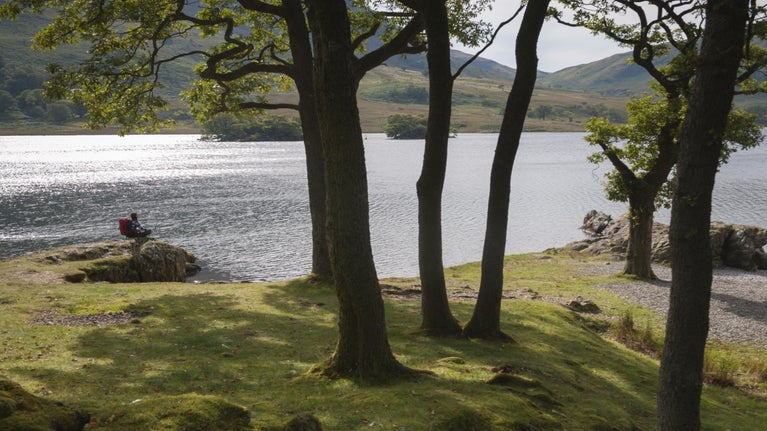
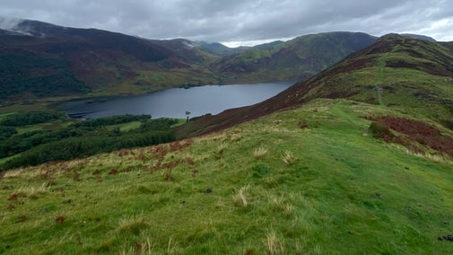
This walk passes through the hills and woodlands on the eastern side of Crummock Water. The route is dominated by two sweeping views: the famous vista of the Buttermere fells seen over the lake's far side, and the dramatic rocky buttress of Grasmoor End looming over its northern tip.
Near to
Buttermere ValleyStart point
Lanthwaite Wood National Trust car park, grid ref: NY149215Trail information
More near here
Whitehaven colourful coastal walk
Experience wild, secluded beaches on this dramatic cliff-top walk at Whitehaven's historic 17th-century harbour, passing the town’s industrial archaeology to join Wainwright’s Coast to Coast path.

Buttermere to Rannerdale walk
This scenic and invigorating Lakeland ridge walk takes you from the Buttermere Valley up to the summit of Rannerdale Knotts, offering impressive views over lakes and high peaks.

Get in touch
Our partners

We’ve partnered with Cotswold Outdoor to help everyone make the most of their time outdoors in the places we care for.
You might also be interested in
Things to do in Buttermere Valley
Explore the Lake District's Buttermere Valley and discover walks through rugged landscapes, panoramic views, thundering waterfalls and other forces of nature.

Wildlife in the Buttermere Valley
Discover the wildlife you can spot in the Buttermere Valley. Learn how otters have returned and how rangers care for swathes of bluebells to protect them for future generations.

Staying safe at National Trust places
The special places in National Trust care sometimes come with a few risks for visitors, be it coastline or countryside. Find out how to keep safe throughout your visits.

Follow the Countryside Code
Help to look after National Trust places by observing a few simple guidelines during your visit and following the Countryside Code.

Cotswold Outdoor: our exclusive walking partner
Learn about the National Trust’s ongoing partnership with Cotswold Outdoor. Find out how they help us care for precious places and the exclusive discount available for National Trust supporters.

Walking
Explore some of the finest landscapes in our care on coastal paths, accessible trails, woodland walks and everything in between. Find the best places to walk near you.

Walking in the Lake District
From gentle ambles to more challenging hikes, these are some of the best walks to explore the heart of the Lake District.


