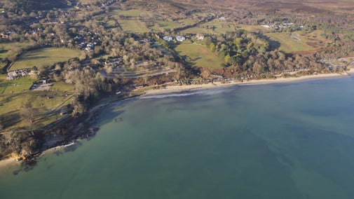
Earlier projects at Studland Bay
1930: Cyril Diver surveys the dunes
During the 1930s naturalist Captain Cyril Diver (1892-1969) and other volunteers meticulously surveyed, mapped and recorded the wildlife of the heath and dune system on the peninsula.
The survey recorded that about 30 per cent of Studland Bay was bare sand.
2013–2015: Resurveying the peninsula
A three year project between 2013-2015 resurveyed the peninsula, with close reference to the original Diver archive material.
As in the 1930s, specialist surveys were conducted by volunteers and a project officer. This showed that now only two per cent of the dunes are bare sand due to accelerated plant growth.
Tracking the changes
To enable us to track these changes and ensure that the impact we are having is a positive one, a citizen science project is under way that will work alongside the Dynamic Dunescapes project.
Working with volunteers
The Citizen Science volunteers record data on the dunes. The volunteers look at dune profiling and carrying out surveys of wildlife and vegetation.
Find out more about the Citizen Science programme.
Want to know more?
The Dynamic Dunescapes website contains further information about the projects across the country.
Find out more about Dynamic Dunescapes
Studland's Dynamic Dunescapes engagement officer is Julia Galbenu. If you’re interested in volunteering or finding out more please email Julia at Julia.Galbenu@nationaltrust.org.uk
Are you an education provider?
The dunes are an excellent habitat for education groups and learning.
We have resources including KS3/4 coursework material, coastal case studies, photos, dunes transect data and plant identification guides.
Please email us at studlandbay@nationaltrust.org.uk for teachers packs and learning resources.


