Maps and Memories: 200 years of OS mapping in Ireland

New ‘Maps and Memories’ project launches with £124,000 National Lottery support to explore Northern Ireland’s mapping heritage.
A new two-year community heritage project marks 200 years since the first detailed mapping of Ireland by Ordnance Survey.
Led by NI Science Festival in collaboration with Ordnance Survey NI, Queen's University Belfast, National Trust Belfast and Historic Environment Division, we're exploring how mapping has shaped our landscapes, stories and identity.
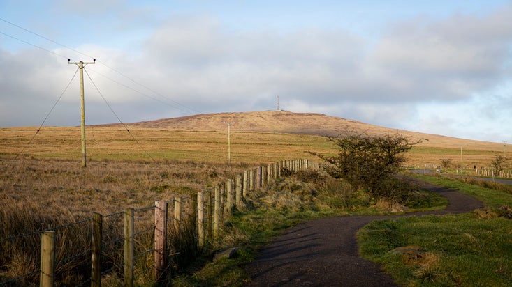
This year marks 200 years since the very first Ordnance Survey mapping survey began on Divis Mountain – a moment that shaped how we view and understand land, identity and geography across the island of Ireland.
To commemorate this milestone, NI Science Festival is leading Maps and Memories, a new project celebrating the remarkable legacy of the Ordnance Survey in Ireland. Working in partnership with the National Trust, Queen’s University Belfast, Ordnance Survey Northern Ireland and the Historic Environment Division, the project will explore both the science of surveying and the human stories behind it.
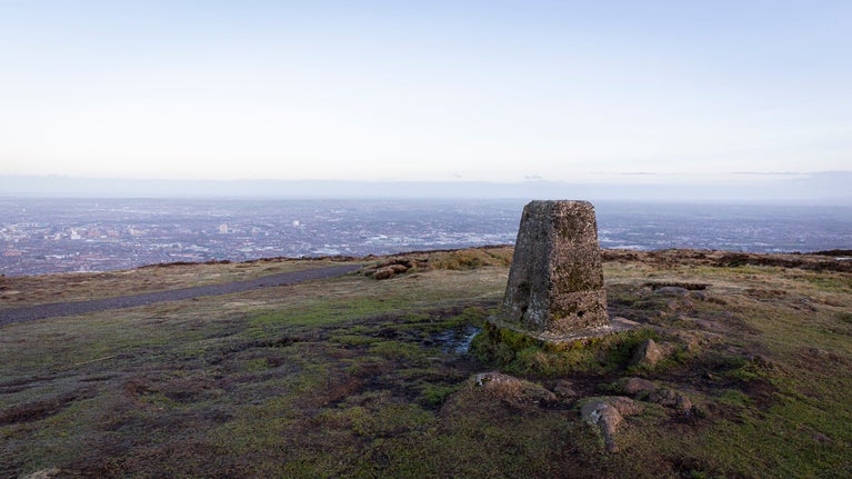
Focusing on Divis and the Black Mountain in Belfast, and Slieve Donard in County Down, the project will shine a light on the trig points (triangulation pillars) that helped create the first detailed maps of Ireland in the 19th century. These enduring landmarks are more than stone markers – they are symbols of discovery, connection and our evolving relationship with place.
What will this project involve?
Over the next two years, Maps and Memories will bring people together through a rich programme of activities, including:
The project will also create a new part-time role to help coordinate activities and ensure wide community involvement.
Maps and Memories was launched on Divis and the Black Mountain in July 2025 with a special event as part of the Festival of Archaeology. Professor Keith Lilley of Queen’s University shared insights into how Ireland’s first maps were made and what they reveal about our landscapes.
Further events and opportunities to take part will be shared on nisciencefestival.com and through NI Science Festival’s social channels.
Our partners

Established in 2014, NI Science Festival has grown to become the largest celebration of its kind on the island of Ireland and in its relatively short lifespan became one of the leading Science Festivals in the whole of Europe.

The Ordnance Survey of Northern Ireland (OSNI) is the official producer of high-quality, accurate, and current geographic mapping data for Northern Ireland.

The Queen's University of Belfast, is a public research university in Belfast, Northern Ireland, United Kingdom.

The Department has strategic responsibility for equality, anti-poverty, sports, arts and culture, languages, finding employment, historic environment, housing, regeneration, benefits and pensions, community and voluntary sector development, social legislation and child support.
You might also be interested in...
Divis and the Black Mountain
Divis and the Black Mountain offers a spectacular viewpoint for walkers seeking panoramic views over Belfast and beyond


