The Burway Loop: a walk to the top of the Long Mynd
Shropshire & Staffordshire
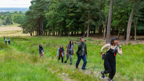
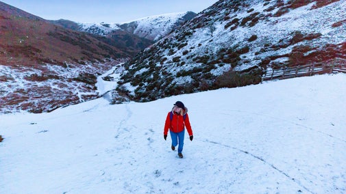
This challenging circular walk takes you to the head of Carding Mill Valley and up to the highest point of the Long Mynd. From the top you can take in impressive views across Shropshire and beyond.
Start point
Carding Mill Valley, grid ref: SO445945Trail information
More near here
The Pipe Walk at Carding Mill Valley
This walk is a great way to see some beautiful views and also to really get to the heart of 'those blue remembered hills', as mentioned in the poem by A E Housman.

The Long Mynd and Ratlinghope walk
A challenging 10-mile circular walk taking in both sides of the Long Mynd, with impressive views over Shropshire and a halfway stop at the pub for refreshments.

Lightspout Waterfall walk
Starting at Carding Mill Valley at the heart of the Long Mynd enjoy a sometimes challenging walk along a stream to the 4-metre cascade at the picturesque Lightspout Waterfall, taking in impressive geology and wildlife along the way.

Reservoir walk
This shorter walk through the valley ends with beautiful views of the reservoir and beyond.

Get in touch
Our partners

We’ve partnered with Cotswold Outdoor to help everyone make the most of their time outdoors in the places we care for.
You might also be interested in
Cotswold Outdoor: our exclusive walking partner
Learn about the National Trust’s ongoing partnership with Cotswold Outdoor. Find out how they help us care for precious places and the exclusive discount available for National Trust supporters.

Staying safe at National Trust places
The special places in National Trust care sometimes come with a few risks for visitors, be it coastline or countryside. Find out how to keep safe throughout your visits.

Walking
Explore some of the finest landscapes in our care on coastal paths, accessible trails, woodland walks and everything in between. Find the best places to walk near you.

Walking in Shropshire and Staffordshire
Find out about the best walking routes around Shropshire and Staffordshire, including gardens, parkland and estates, ideal for family walks.


