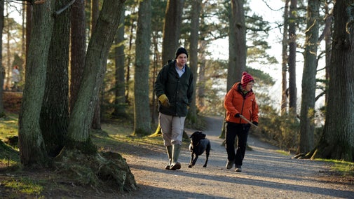
Hartsop to Hayeswater Gill trail
Lake District
Hayeswater Gill runs down from Hayeswater Reservoir, which once fed into north-west England's water supply. From Hartsop village near Ullswater, follow the beck up to the reservoir on a circular walk surrounded by towering Lake District fells. Discover local mining and milling history as you go.
Start point
Hartsop village car park, CA11 0NZ, grid ref: NY410130Trail information
More near here
Aira Force and Gowbarrow Park trail
Explore Aira Force and Gowbarrow Park on a circular walk passing through woodland and open glades all accompanied with the roaring sounds from the waterfall in the gorge. Enjoy expansive views over Ullswater from the summit of Gowbarrow.
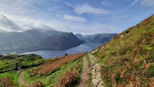
Patterdale and Glenamara Park trail
Patterdale, near Ullswater, is home to Glenamara Park – a former deer park and site of several stately ancient and veteran trees. Explore them on this easy circular walk.
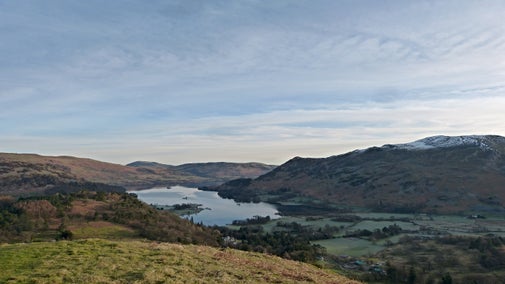
Aira Force Glencoyne Farm trail
This is a 3-mile walk through the upland hill farm of Glencoyne, with great views of Ullswater. You will pass through woodlands that are home to red squirrels, as well as historic farm buildings and charcoal pitsteads.
Get in touch
Our partners

We’ve partnered with Cotswold Outdoor to help everyone make the most of their time outdoors in the places we care for.
You might also be interested in
Walking in the Lake District
From gentle ambles to more challenging hikes, these are some of the best walks to explore the heart of the Lake District.

Walking
Explore some of the finest landscapes in our care on coastal paths, accessible trails, woodland walks and everything in between. Find the best places to walk near you.

Cotswold Outdoor: our exclusive walking partner
Learn about the National Trust’s ongoing partnership with Cotswold Outdoor. Find out how they help us care for precious places and the exclusive discount available for National Trust supporters.

Staying safe at National Trust places
The special places in National Trust care sometimes come with a few risks for visitors, be it coastline or countryside. Find out how to keep safe throughout your visits.

Follow the Countryside Code
Help to look after National Trust places by observing a few simple guidelines during your visit and following the Countryside Code.

Exploring Aira Force and Gowbarrow Park
Find out what Aira Force has to offer, including waterfalls, walks with far-reaching views, ancient woodland, red squirrels, picnic spots and access to the lake.
Eating at Aira Force
Stop for refreshments at Aira Force tea-room for a delightful selection of hot and cold drinks, cakes and sandwiches. Perfect for refuelling during your Ullswater Way walk or waterfall adventure.

Visiting the Lake District with your dog
Here's how to get the most out of a visit to the Lake District with your dog, while protecting the countryside and keeping livestock and wildlife safe.
