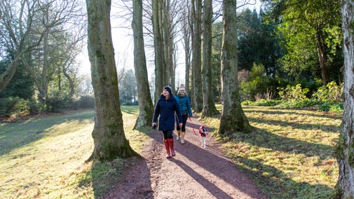
Walk at Eye Bridge and Pamphill, Kingston Lacy
Dorset
Enjoy a serene wander upstream along this beautiful stretch of the Stour river, with ancient woodland and plentiful interesting birdlife to look out for through the unspoilt areas of Pamphill and Cowgrove.
Near to
Kingston LacyStart point
Eye Bridge car park off the Wimborne/Cowgrove road, grid ref: ST996001Trail information
More near here
Walk at Badbury Rings and The Oaks
Enjoy impressive views across the Dorset countryside on this circular walk, while discovering the history, flora and fauna of the Iron Age hillfort of Badbury Rings.

Walk at White Mill and Shapwick
Starting by an 18th-century mill, this moderate walk goes over rough pasture, alongside the River Stour, through the picturesque village of Shapwick and returns on lanes to White Mill.

Walk at the Beech Avenue and Droves, Kingston Lacy
Walk around the network of droves and along the tree-lined Beech Avenue at Kingston Lacy. This circular trail takes you back along the outskirts of the Kingston Lacy parkland.

Walk at Pamphill and Cowgrove
Enjoy a gentle walk through the beautiful unspoilt villages of Pamphill and Cowgrove with good views across the Stour Valley.

Get in touch
Our partners

We’ve partnered with Cotswold Outdoor to help everyone make the most of their time outdoors in the places we care for.
You might also be interested in
Walking
Explore some of the finest landscapes in our care on coastal paths, accessible trails, woodland walks and everything in between. Find the best places to walk near you.

Cotswold Outdoor: our exclusive walking partner
Learn about the National Trust’s ongoing partnership with Cotswold Outdoor. Find out how they help us care for precious places and the exclusive discount available for National Trust supporters.

Staying safe at National Trust places
The special places in National Trust care sometimes come with a few risks for visitors, be it coastline or countryside. Find out how to keep safe throughout your visits.

Follow the Countryside Code
Help to look after National Trust places by observing a few simple guidelines during your visit and following the Countryside Code.

Eating and shopping at Kingston Lacy
Sample the delicious menu at the Stables Café or visit the National Trust shop to browse a wide range of gifts, souvenirs and local produce. There's also a second-hand book store stocking a huge selection of titles, old and new.

Visiting Kingston Lacy with your dog
Enjoy nature and fresh air on woodland walks across the Kingston Lacy estate in Dorset, and find out all you need to know about visiting with your four-legged friend.

Walking in Dorset
From strolls along the coastline by the sea to spectacular views over three counties at the top of Hambledon Hill, these are some of the best walks in Dorset this winter season.

