Watersmeet to Ash Bridge circular walk
Devon
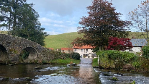
A moderate circular walk suitable for all the family. The trail meanders along the banks of the East Lyn River from Watersmeet House through beautiful woodland. Look out for elusive otters in the river and herons on low-hanging branches over the water.
Near to
WatersmeetStart point
Watersmeet public car park, Watersmeet Road, Lynton and Lynmouth, North Devon, Devon EX35 6NT. Grid ref: SS743487Trail information
Slippery when wet
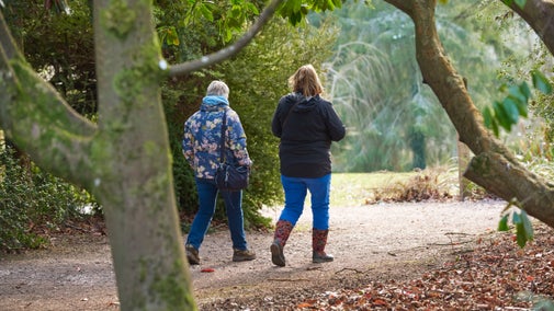
Suitable footwear recommended as some sections can be slippery when wet.
More near here
Lynmouth circular walk via Watersmeet and Countisbury
This interesting and varied walk from a picturesque harbour town offers spectacular coastal views, woodlands, waterfalls, Iron Age archaeology and some intriguing wildlife.

Countisbury and Westerwood figure-of-eight walk
Explore the varied landscape around Countisbury and Watersmeet, from open Exmoor coast path to sessile oaks, riverside paths and the impressive ramparts of an Iron Age hill fort.

Doone Valley circular walk and ride
A challenging walk through the picturesque Doone Valley to discover the remains of an abandoned medieval village. Experience the dramatic wide-open landscape of Exmoor as this trail loops around the moor. Keep an eye out for the Exmoor ponies who roam across the moor.

Heddon's Mouth circular walk
Follow one of Devon's most beautiful walking routes through ancient woodland alongside the River Heddon to where it meets the sea.

Get in touch
Our partners

We’ve partnered with Cotswold Outdoor to help everyone make the most of their time outdoors in the places we care for.
You might also be interested in
Lorna Doone Valley
Mystical valley and peaceful walks in countryside made famous by RD Blackmore

Heddon Valley
Towering cliffs, coves and a wooded valley within Exmoor National Park

Top places to spot otters
Find out more about the best places where you can see otters in the wild, including Hampshire, Pembrokeshire and Cornwall.

Top waterfalls to visit
Did you know that several of the places we look after in England, Northern Ireland and Wales have waterfalls? Find the best ones to visit and experience the invigorating power of nature.

Walking
Explore some of the finest landscapes in our care on coastal paths, accessible trails, woodland walks and everything in between. Find the best places to walk near you.

Cotswold Outdoor: our exclusive walking partner
Learn about the National Trust’s ongoing partnership with Cotswold Outdoor. Find out how they help us care for precious places and the exclusive discount available for National Trust supporters.

Walking in Devon
From rugged coastline with captivating views to gentle woodland strolls, these are some of the best walks in Devon this winter.

