Become a member
Join today and help protect nature, beauty and history – for everyone, for ever. Enjoy access to more than 500 places with National Trust membership.
Dramatic red sandstone escarpment, with impressive views
Macclesfield Road, Nether Alderley, Macclesfield, Cheshire, SK10 4UB

| M | T | W | T | F | S | S |
|---|---|---|---|---|---|---|
Open
Closed
| Asset | Opening time |
|---|---|
| Countryside | Dawn - Dusk |
| Car park | 08:00 - 17:00 |
Bickerton Hill and Mow Cop. Pay and Display at Alderley Edge: Car parking charges apply for non-members: £5 for up to four hours and £8.00 all day. Sorry no coaches. National Trust members park for free, please bring your membership card with you to scan.
Please keep dogs on a short lead around sheep and cattle, during the season where birds nest on the ground and where indicated by signs. Please be a responsible dog owner and tidy up after your dog and dispose of waste in a bin, if bins aren't available, please take home or put in the next nearest bin.
Alternate Sundays from April to October at Alderley Edge, see What's On for details
Independent locally run tea room at Alderley Edge
Alderley Edge only.
Blue Badge parking and accessible toilet at Alderley Edge. Blue badge car parking at Mow Cop. Most of Alderley Edge and the Cheshire countryside has steps and steep terrain and is not suitable for wheelchairs.
Alderley Edge only.
Macclesfield Road, Nether Alderley, Macclesfield, Cheshire, SK10 4UB
Alderley Edge is a one pawprint rated place. Dogs are welcome at all Cheshire and Wirral countryside sites. Find out how to keep your dog and local wildlife safe and more.

The Invisible Worlds app has had a re-vamp; download at home and use the app to explore Alderley Edge in a whole new light. Whether at home, across the world or walking about the woodlands, the app is designed to help bring the Legend of Alderley Edge to life.

Plan your walk with this handy downloadable map of Alderley Edge. Help us to care for this beautiful place by leaving no trace of your visit - thank you.
Variety of countryside sites which offer spectacular views across Cheshire and the Wirral.
Tea-room serving hot and cold food and drinks, with indoor and outdoor seating, plus takeaway option.
Re-launching in May 2025, the Invisible Worlds app can be used at Alderley Edge by visitors, as well as allow people around the world to remotely explore the magic of Alderley Edge.
Invisible Worlds is an exciting new digital installation research project at Alderley Edge. The project is a collaboration between an interdisciplinary team of researchers led by the University of Birmingham, aiming to tell the stories of this special place in a new way.

Discover what makes Alderley Edge so special, from its wildlife and fun activities such as orienteering, to its areas of historical significance.

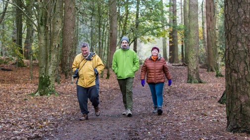
Discover the beauty of Cheshire’s countryside on a stroll through its woodlands, see rich birdlife on its marshes and explore historical sites such as the folly at Mow Cop.

Bickerton Hill is more than a beautiful view. Explore its 91 hectares to stretch your legs, discover Iron-Age ruins and see rangers and volunteers in action.

Discover Cheshire’s heritage and nature through grand houses, deer parks, seasonal gardens, woodland, moorland, and even a cotton mill.

Enjoy an easy-access circular walk in the heart of the Cheshire countryside exploring mining remains and the popular legend of Alderley Edge.

Wander through this peaceful area of Alderley Edge filled with history and wildlife, where past generations have mined and farmed the landscape.

Discover the history of Mow Cop and explore the castle ruins along this short trail in the Cheshire countryside.

Find out more about the National Trust's partnership with Congleton Mountain Biking Club to allow managed mountain biking for its members on the Bosley Cloud in Cheshire.


On the Lyme estate and deer park, this Edwardian cottage looks out over lush green countryside.

Tucked away on the glorious Lyme Park estate, Lyme West Lodge is a picture-book pretty Edwardian cottage set in leafy woodland.
A deeply relaxing and restorative ‘Shinrin-Yoku’ walk to nourish your mind, body and soul with the proven health benefits of being immersed in nature.
Explore Alderley Edge with an experienced guide and discover the history and legends that make this such a special place.
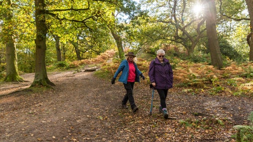
Explore the dramatic red sandstone escarpment of Alderley Edge, with views over the Cheshire Plain to the Peak District. Various themed walks meander through open pasture, mature pine and beech woodland.
Discover the highest point on the Edge which was originally a Bronze Age burial mound. It was later used as a fire beacon site which would have been lit as a signal to warn of the imminent invasion.
For more stunning views over the Cheshire countryside, why not visit one of the following places in our care: Bickerton Hill and Bulkely Hill Wood; Mow Cop, the Cloud, Helsby Hill and Thurstaston Common.
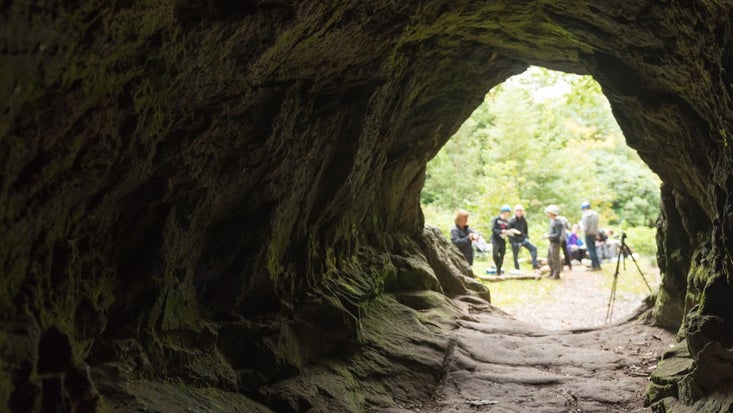
Learn about some of the most historically significant sites in the north west, from Roman mineshafts to a 16th-century alert beacon, and uncover Alderley Edge’s ancient legend.

New discovery at Alderley Edge in Cheshire offers a glimpse into a mine in production during the Napoleonic Wars, with shoes and clay pipes among the personal everyday objects the miners left behind.

How did the Second World War have such a lasting impact on the wildlife of Bickerton Hill? Discover the impact that history can have on wildlife and natural areas.

Find out about our work to improve the health of the River Bollin catchment at Alderley Edge as part of the Riverlands project.

Find out more about joining our volunteer team, or organising a corporate team building awayday at Alderley: helping our conservation aims while bringing your team closer together.

Find out about the supporter groups you can join in Cheshire and Greater Manchester including East Cheshire National Trust Association, South Cheshire Association and The Manchester Centre.


Join today and help protect nature, beauty and history – for everyone, for ever. Enjoy access to more than 500 places with National Trust membership.
By sharing your email address you’re agreeing to receive marketing emails from the National Trust and confirm you’re 18 years old or over. Please see our for more information on how we look after your personal data.