Become a member
Join today and help protect nature, beauty and history – for everyone, for ever. Enjoy access to more than 500 places with National Trust membership.
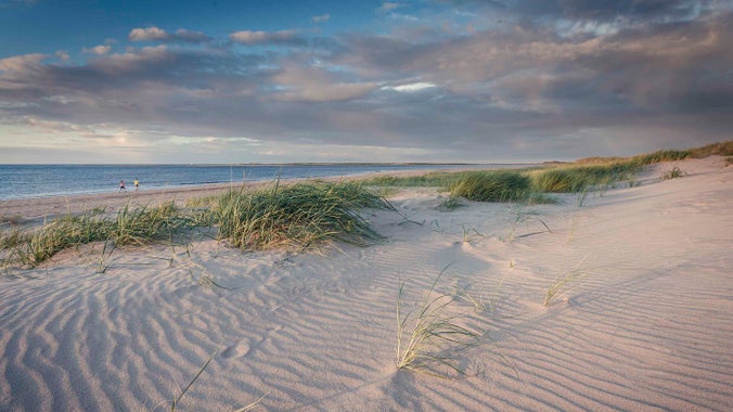
Iconic coastline famous for its sandy beaches
Brancaster Beach, Beach Road, Brancaster, Norfolk, PE31 8AX

Discover some top tips for an enjoyable and safe visit to Brancaster Beach.

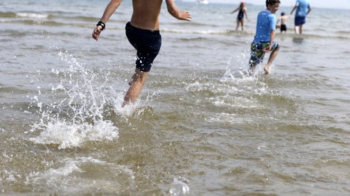
Plan a fun-filled day out at Brancaster beach. With its wide expanse of golden sands, it is perfect for sandcastles, wanders, picnics and paddling.

Brancaster Beach is a two pawprint rated place. Dogs and responsible owners are very much welcome here. We know your pets will enjoy it as much as you.

Information for horse owners planning to ride on Brancaster Beach.

Find out about using Brancaster as a beautiful beach backdrop for your wedding or engagement photographs.

At Dial House we have a medium-sized room which is available to hire for meetings, training events, team building etc.


Join today and help protect nature, beauty and history – for everyone, for ever. Enjoy access to more than 500 places with National Trust membership.