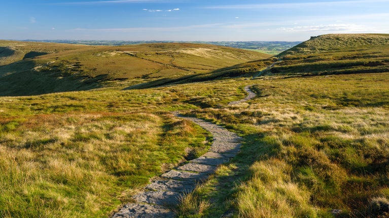
Edale Circular Walk
The Peak District & Derbyshire
This low level walk leads you through vast, open fields and along parts of the Pennine Way, following streams and stone-flagged paths through the Vale of Edale.
Start point
The Penny Pot Cafe, Station Approach, Edale, Derbyshire S33 7ZA.Trail information
Difficulty
Full trail
DistanceMiles: 3.4 (km: 5.44)Plan ahead
Popular spots like Kinder and Edale are getting extremely busy, especially at weekends, Bank Holidays and during the school holidays. Many car parks fill up very quickly by 9am, so do plan ahead before leaving home. Please park safely and considerately in designated spaces and not on roads or grass verges, as this can block access for farm tenants, local residents and emergency services. Barbecues and campfires are not permitted.
More near here
Kinder Scout mass trespass walk
Follow in the footsteps of the 500+ mass trespassers who, in 1932, walked from Hayfield to Kinder Scout in the Derbyshire Peak District to secure access rights to the countryside for all.

Mam Tor circular walk
This circular walk from Mam Tor in the Peak District takes in some of the most dramatic scenery in the Edale Valley.

Below Kinder Scout: A circular walk around Kinder reservoir
This 5.2-mile circular walk takes in the tree-lined avenues around Hayfield as well as the heather-covered moors of Kinder Scout and the reservoir.

Derwent Valley and reservoir walk
This walk takes you through key Peak District habitats including farmland, alongside the Ladybower Reservoir and up to the moors for panoramic views of the High Peak.

Get in touch
near Hope Valley, Derbyshire, S33 8WA nearest postcode area
Our partners

We’ve partnered with Cotswold Outdoor to help everyone make the most of their time outdoors in the places we care for.
You might also be interested in
Walking and cycling in Kinder, Edale and the High Peak
Discover the best views of the Peak District on a refreshing walk or bike ride through Kinder, Edale and the High Peak in Derbyshire.

Things to see and do at Kinder, Edale and the High Peak
Discover breath-taking views of the Peak District, natural landscape features and the best spots for wildlife watching at Kinder, Edale and the High Peak.

Visiting the Peak District with your dog
Walking with your dog is a great way to enjoy the scenic walks and stunning views of the Peak District. Here is some information and guidance about visiting the area with your dog.

Cotswold Outdoor: our exclusive walking partner
Learn about the National Trust’s ongoing partnership with Cotswold Outdoor. Find out how they help us care for precious places and the exclusive discount available for National Trust supporters.

Staying safe at National Trust places
The special places in National Trust care sometimes come with a few risks for visitors, be it coastline or countryside. Find out how to keep safe throughout your visits.

Walking in the Peak District and Derbyshire
Discover the best walking routes around the Peak District and Derbyshire for walkers of all abilities, from peaks and lakeside paths to expanses of moorland.

