Become a member
Join today and help protect nature, beauty and history – for everyone, for ever. Enjoy access to more than 500 places with National Trust membership.
Palladian house and world-famous landscape garden
near Mere, Wiltshire, BA12 6QD

| M | T | W | T | F | S | S |
|---|---|---|---|---|---|---|
Open
Closed
| Asset | Opening time |
|---|---|
| Garden | 09:30 - 15:00 |
| House | Closed for winter |
| Restaurant | 09:30 - 16:30 |
| Shop | 10:00 - 17:00 |
| Second-hand bookshop | 09:30 - 15:00 |
Last orders in the restaurant are half an hour before closing. Alfred's Tower is open weekends and bank holidays, April - October. Please check website for additional Friday opening. Last entry to the tower is at 2.45pm. During January and February we offer Behind Closed Doors tours of the house, which are bookable via the events listing.
| Ticket type | With Gift Aid | Without Gift Aid |
|---|---|---|
| Adult (18+) | £25.30 | £23.00 |
| Child (5-17) under 5s free | £12.70 | £11.50 |
| Family (2 Adults and up to 3 children) | £63.30 | £57.50 |
| 1 adult, 2 children | £38.00 | £34.50 |
| Group (Adult 18+) | £18.75 | |
| Group (Child 5-17) | £9.50 |
The second-hand bookshop is in the Spread Eagle Courtyard.
Cycle parking is located in the main car park, next to the coach park. There is also a cycle rack next to the shop and restaurant.
Dogs on short leads are welcome in the garden all year round.
8 AC and 8 ultra-rapid DC (150-300kW) electric vehicle charging points are available in Stourhead's main car park. Chargers can be accessed using mobile app, RFID card, or contactless payment device. Visit our EV charging provider RAW Charging’s website to download the app in advance of your visit.
Electric vehicle charging point - more informationSome steep routes with steps and uneven surfaces. Accessible toilets in Spread Eagle courtyard. Mountain trike wheelchairs available to hire. A Baronmead Stairmate Major stairclimber is available, enabling wheelchair users to access the house.
Some routes in the garden include sections of stony and steep descents. This is unsuitable for anyone with restricted mobility and non 'all-terrain' wheelchairs. We offer a volunteer led guided tour of the garden via a buggy between March and November, please call us on 01747 842025 or email stourheadtramper@nationaltrust.org.uk for dates and availability.
Located at visitor reception
A braille guide offering an introduction to Stourhead and it's history.
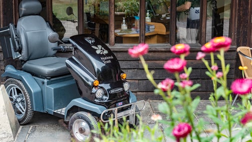
We have a couple of trampers available to hire, please call us on 01747 842025 or email stourheadtramper@nationaltrust.org.uk to book ahead (at least 24 hours). We offer first come first serve on the day for in-person requests, subject to availability.
A stairclimber is available to enable wheelchair uses to access the house. Last entry to the house with this service is 3pm and the use of it must be booked in advance. Please call 01747 842025 or email stourheadtramper@nationaltrust.org.uk to book.
Wheelchair accessible gravel paths with marked routes, steep in places
A shuttle bus service is available from Visitor Reception to the Spread Eagle Courtyard and house. This is a volunteer run service and therefore may not always be available. We advise phoning on the day to avoid disappointment.
A limited number of mountain trike wheelchairs are available to hire, please call us on 01747 842025 or email stourheadtramper@nationaltrust.org.uk to book.
Trains run to Gillingham from:
- Basingstoke (70 mins)
- Exeter Central (80 mins)
- Salisbury (30 mins)
Trains run to Warminster and Bruton from:
- Bath Spa (35/55 mins)
- Bristol Temple Meads (60/70 mins)
Trains run to Warminster from:
- Southampton Central (50 mins)
Trains run to Bruton from:
- Weymouth (70 mins)
Stourhead is on National Route 25 of the National Cycle Network.
This links with Frome and the National Route 24 at Longleat and runs south through Gillingham and Poole to Bournemouth of the Dorset Coast.
Created as part of the vision of Henry Hoare ‘The Magnificent’, the man-made lake completes ‘Paradise Valley’, and is what makes the landscape garden so unique.
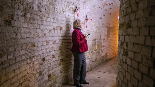
A chance to see behind the normally closed doors of Stourhead house.
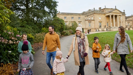
Find out the family-friendly things to do at Stourhead, from events in the garden to exploring the house.

Find out about visiting the Stourhead estate with your dog, from where you can and can't take them, to the facilities available to dog owners. Stourhead is a three pawprint rated place.

We are committed to making sure that Stourhead is equally accessible for all our visitors. Whilst the historic spaces and landscape can present challenges to accessibility for all, we are taking steps to make sure that as many people as possible can access the estate and its story.
Find out everything you need to know about booking a group visit to Stourhead, from admission prices and benefits to educational tours.

Stourhead iconic landscape garden with picturesque views across the lakeside is the ideal setting for your ceremony or special event.

One of the first grand Palladian-style villas to be built in England, with a carriage entrance leading to the piano nobile, or main floor.
World-famous landscape garden with a lake set among lawns and classical temples, surrounded by trees and with sweeping views.
Buildings include the Temple of Flora, the Temple of Apollo and the Pantheon, which was inspired by the Pantheon in Rome.
2,650 acres of countryside, with walks through chalk downs, ancient woods, Iron Age hillforts and farmland.
A triangular, 160ft-tall folly on the wider estate that offers panoramic views across three counties.
National Trust restaurant and take-away kiosk available daily, local amenities such as a historic inn, an ice cream parlour and a farm shop.
Stourhead shop and plant centre open daily for gifts, treats and mementos. There is also a farm shop, gallery and second-hand bookshop.
Maps, guidebooks and information are available for your visit. Wheelchairs for hire and access information.
A chance to see behind the normally closed doors of Stourhead house.

See what is happening at Stourhead in 2026.
Created as part of the vision of Henry Hoare ‘The Magnificent’, the man-made lake completes ‘Paradise Valley’, and is what makes the landscape garden so unique.
Stourhead is home to one of the world's most famous gardens, with myriad temples, grottos, trees and water features to explore. Read more about what you'll see during your visit.
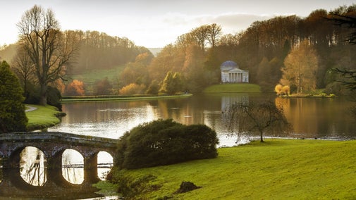
Stourhead house was one of the first Palladian-style villas to be built in England. Find out more about the Hoare family's home and why they decided to make this their main residence outside of London.

Explore the wider countryside around the Stourhead estate. Discover an Iron Age hillfort, Alfred’s Tower and ancient woodland. Then rest a while and listen to the wide variety of birds and creatures that call this estate home.

Find out the family-friendly things to do at Stourhead, from events in the garden to exploring the house.

This picturesque circular walk takes in Park Hill Camp Iron Age hillfort and the Six Wells Valley, with plenty of birdlife to look out for and carpets of bluebells in spring. Follow the red way markers from visitor reception for this walk.

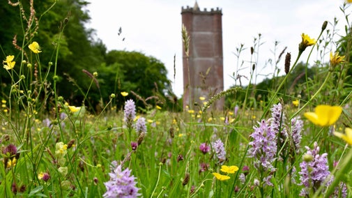
This historic circular walk takes in an Iron Age hillfort and a tower named for King Alfred the Great, with impressive views over three counties. Follow the blue way markers from visitor reception for this walk.
This gentle walk takes you behind the Temple of Apollo through the picturesque Bonham Wood, and returns along a WWII airfield. A springtime hotspot also for daffodils and bluebells. Follow the pink way markers from visitor reception for this livestock free walk.

Look out for an array of wildflowers & wildlife and take in the wide views of Stourhead estate on this challenging walk up White Sheet Hill, a site of great archaeological interest. Follow the orange way markers for this walk.

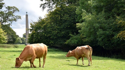
The Terrace Ride walk is a historic circular 5.5 mile route that was created by Henry Hoare II. It takes in several follies on the estate, the Obelisk, St Peter's Pump and Alfred's Tower. Follow the purple way markers from visitor reception.
Discover the best places to eat, drink, and buy gifts and souvenirs during your visit to Stourhead.

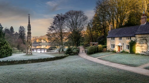
Sitting at the entrance to Stourhead, this secluded cottage has a world-famous garden on the doorstep.

Stay in the west wing of Lytes Cary Manor within the Arts and Crafts inspired garden.

Stay in the grounds of the Lytes Cary estate in this pretty Victorian cottage.
A chance to see behind the normally closed doors of Stourhead house. Tours may cover four floors with many stairs and will give you an insight into what goes on behind the scenes.
Put on your detective hat and help solve the mystery of Squirrel's missing nuts!
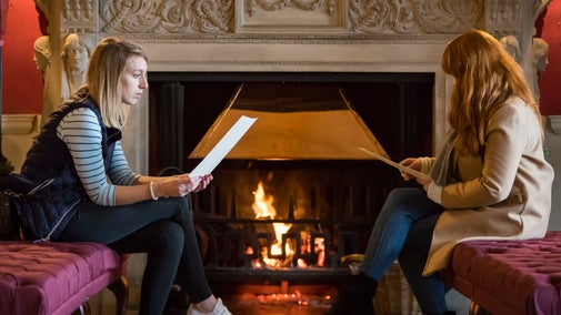
Come and warm up by the log fire in the Entrance Hall of Stourhead House.
Take part in a relaxing, beginner-friendly workshop focused on creating your own watercolour hare.
Discover the story of Stourhead and its landscape garden on daily guided tours.
Discover glass fusing with Champagne Glass Studio. Create your own art, fired, framed, and ready in a week.
Immerse yourself in wild food with this day-long course from Totally Wild Uk at Stourhead.
When Stourhead first opened in the 1740s, a magazine described it as ‘a living work of art’. The world-famous landscape garden has at its centrepiece a magnificent lake reflecting classical temples, mystical grottoes, and rare and exotic trees, and offers a day of fresh air and discovery.
Uncover the fascinating history of Stourhead house with an Italian ‘Grand Tour’ adventure and enjoy the unique Regency library, Chippendale furniture and inspirational paintings. The Palladian house is set amid ‘picnic perfect’ lawns and extensive parkland.
Explore the 1,072 hectare (2,650 acre) Stourhead estate where chalk downs, ancient woods and farmland are managed for wildlife.
Discover the fascinating story of Stourhead House in Wiltshire, and find out how different generations of the Hoare family helped to shape it over the years.

Discover the history of Stourhead's garden, from its creation by Henry Hoare II in the 18th century, to the various buildings and features that have been added since.

From the Pantheon roof to a rare Axminster carpet, discover how the team at Stourhead have been protecting the past for future generations to enjoy.

The team of rangers at Stourhead work tirelessly to ensure that this historic estate in Wiltshire is well looked-after all year round. Find out about their essential work.

Explore the objects and works of art we care for at Stourhead on the National Trust Collections website.

Following a dramatic race against time to secure the painting, Angelica Kauffman’s Penelope and Euriclea has returned to Stourhead, cared for by the National Trust, 140 years after it was first sold at auction.

Discover the benefits of volunteering at the Stourhead estate in Wiltshire, and how to join the friendly team.


Join today and help protect nature, beauty and history – for everyone, for ever. Enjoy access to more than 500 places with National Trust membership.
By sharing your email address you’re agreeing to receive marketing emails from the National Trust and confirm you’re 18 years old or over. Please see our for more information on how we look after your personal data.
