Stowe Gardens
Oxfordshire, Buckinghamshire & BerkshireGardening on the grandest scale in this Georgian landscape garden and park
Stowe Gardens, Buckingham, Buckinghamshire, MK18 5EQ
Planning your visit
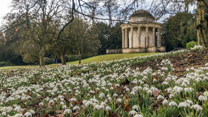
It's Stowedrops season!
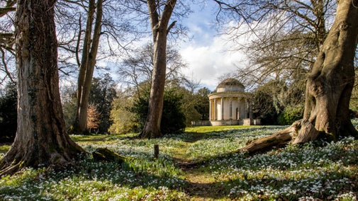
The snowdrops at Stowe Gardens are an uplifting sight to behold and they are at their peak in the first couple of weeks of February, so hurry along and don't miss the spectacle. Snowdrops traditionally herald the end of winter and the reassurance that the brighter days of spring are on their way. Click here for easy-to-follow directions to discover the best carpets of snowdrops at Stowe Gardens.
‘Hop into the wild’ family trail
From Sat 14 February - Sun 8 March, the National Trust is celebrating the release of Disney and Pixar’s “Hoppers”, in Cinemas 6 March. Discover the ‘Hop into the wild’ family trail, with storytelling and outdoor play.

Accessibility at Stowe Gardens
Find out about visiting Stowe Gardens with accessibility needs, including best routes, access statement and free entry for carers.

Stowe Gardens Visitor Map
Download a visitor map ahead of your visit and plan your route!
Family-friendly things to do at Stowe Gardens
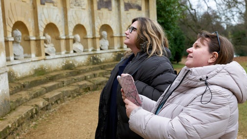
Take the kids on an outdoor adventure this season as you explore a world of lakes, magical woods, enormous temples, colourful reflections and twisted trees.

Visiting Stowe Gardens with your dog
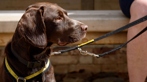
Stowe Gardens is a three pawprint rated place. Dogs are welcome on leads across the garden and parkland. Find out more about what to be aware of when walking your dog and the facilities available.
Plans for the future
Learn more about our new partnership with Silverstone Circuit
Bold Ambition: Stowe and Silverstone to create a nature superhighway
Stowe Gardens and Silverstone Circuit have launched a three-year collaborative project to create a nature superhighway in the form of an accessible multi-user trail. The campaign aims to fast-track nature conservation and boost biodiversity in the area.

Venue hire
Venue hire at Stowe Gardens
Find out more about hiring Stowe Gardens in Buckinghamshire for weddings, photoshoots, filming and private/corporate events.

